Whittlesea

Official WBUG rides run all year, including various week and weekend rides! Check out what's coming up.
Lunchtime rides throughout October:
Wednesday lunchtime rides take place from 12 pm to 1pm throughout Wednesdays in October. Locations include South Morang Train station, Mernda Train station and Whittlesea Gardens. Click here for all of the ride details!
Sunday short rides:
Sunday short rides usually start at 9.00 am, although start locations vary and start times do occasionally vary.
Rides are generally 15 – 25 km.
Slow ride, average of 12-13 km/h.
Coffee stop for socialising.
No-drop policy, no one gets left behind should a rider not be able to hold the pace or if they have a mechanical or flat tyre.
Sunday long rides:
Sunday long rides usually start at 8.00 am, although start locations vary and start times do occasionally vary.
Rides are generally 45 – 65 km.
Coffee stop for socialising.
No-drop policy, no one gets left behind should a rider not be able to hold the pace or if they have a mechanical or flat tyre.
The City of Whittlesea comprises the outer northern suburbs of Melbourne. Its southern boundary – the Metropolitan Ring Road, is located approximately 14.5km north of the Melbourne CBD. It is one of Melbourne’s largest & fastest-growing municipalities, with much of its growth occurring within designated growth areas to the north and northwest of the established urban areas, integrating with growth areas within the neighbouring City of Hume and Mitchell Shire to the west.
Across Whittlesea, an existing network of trails and active transport corridors provide recreational and commuting options for walkers and cyclists. In addition to existing facilities, the Northern Trails Strategy and Whittlesea Walking & Cycling Plan set out a series of different types of trails varying from nature based (around parks or along river corridors), along major freeway and rail corridors. The following trails provide opportunities for transport, exercise, recreation and tourism for residents and visitors.
Cyclists can also access a network of on and off-road bicycle lanes and paths in the City of Whittlesea. The cycling network in the City of Whittlesea currently consists of approximately 860km of off-road cycling infrastructure. This is made up of approximately 524km of on-road facilities, 855km of off-road facilities and 150km of informal cycling routes (on-road) as shown in the map below.
Whittlsea Council is now offering Cycling skills and training programs as part of their Learn to Ride programme.
Whether you are a complete beginner, or you are a more confident rider looking to ride on roads more often, there is a session for you.
The recreational trails along river corridors including the Merri Creek Trail, Darebin Creek Trail and Edgars Creek Trail are preferred places for new cyclists.
The Darebin Creek trail has a paved shared user path following the alignment of Darebin Creek within its adjacent parklands. Trail runs through the City of Whittlesea begins at the Metropolitan Ring Road and extends up towards Findons Creek towards Wollert. Its landscape values contribute to its popular use by the community as a recreational trail.
The Edgars Creek trail runs along Edgars Creek, extending from the Metropolitan Ring Road, through Thomastown and towards future growth areas in the north. It is used for exercise, socialising & relaxation.
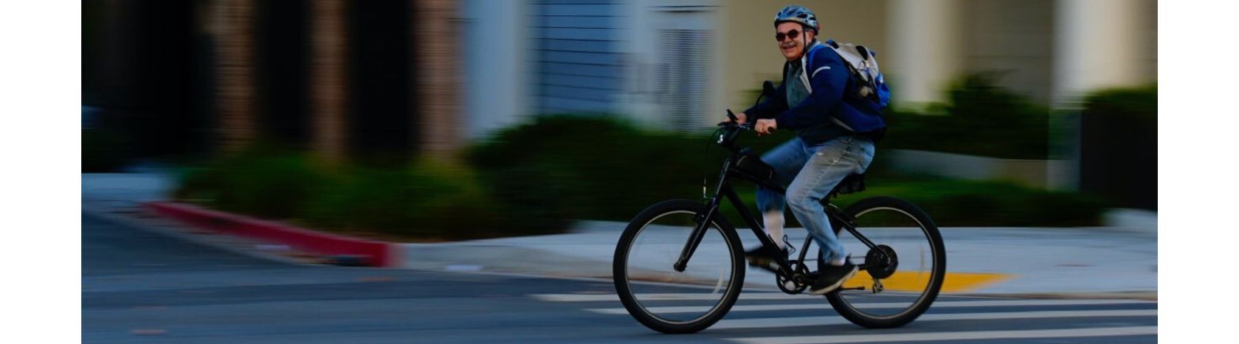
The Whittlesea Bicycle Users Group is a not-for-profit local community group that promotes bicycle riding for health, fitness, fun and as a form of active transport.
Whittlesea Bicycle Users Group organise regular rides on weekends, including:
For more information, email whittleseabug@gmail.com or visit the Whittlesea BUG website.
To facilitate bike riders in the city of Whittlesea the TravelSmart Maps were developed as an initiative of the Whittlesea Bicycle Users Group (BUG) to provide sustainable transport information on a pocket-sized complete street map with standard Melways references.
The maps provide detailed information about bicycle, walking and public transport routes within the City of Whittlesea, making it easier for you to choose a sustainable way to travel. The Travel maps are available online at https://www.wbug.org.au/advoca...
The City of Whittlesea- Walking and Cycling Plan 2022-2027

